This information is going to get outdated quickly.
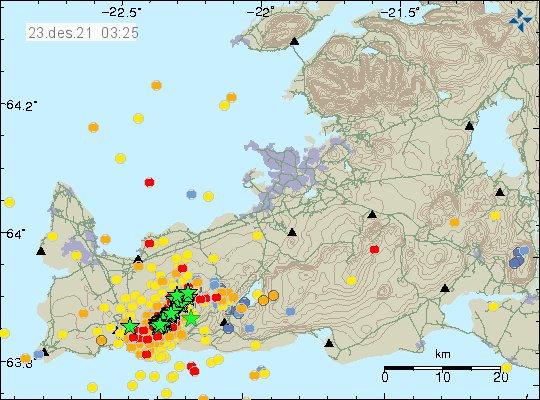
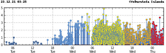
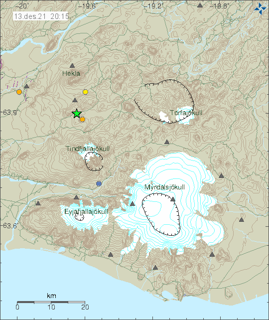
There is now a constant earthquake swarm activity in Fagradalsfjall mountain, part of the Krýsuvík-Trölladyngja volcano system. More than a dozen of earthquakes have been larger than magnitude 4,0 and it doesn’t look like this earthquake activity is doing to stop soon. Largest earthquakes in last few hours had a magnitude of Mw4,8 and Mw4,5. The earthquake north of Grindavík town appears to be a tension breaking earthquakes because of magma inflation in Fagradalsfjall mountain.
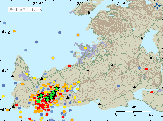
This earthquake swarm is close to Grindavík town, this is a similar situation that happened earlier in the year 2021. Just before the eruption in Fagradalsfjall mountain. This earthquake activity is going to continue to grow until an eruption starts. This earthquake activity also happens in a wave, resulting in it lower earthquake activity between powerful earthquake activity. I am expecting more strong earthquakes in next few days, unless an eruption starts in Fagradalsfjall mountain or nearby area.